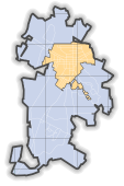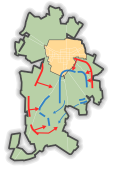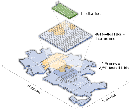
The battlefield is an area of about 3.33 x 5.33 miles (about 17.75 square miles). In comparison, Washington, DC today occupies an area of just under 70 square miles. If there are about 484 football fields (including the end zones) in a square mile, the battlefield would be about the same size as 8,591 football fields.
Questions:
How large is your town or city?
What part of your town/city is the same size as the battlefield? You can compare sizes of different geographic locations using this tool.
What other events take place across this large an area?
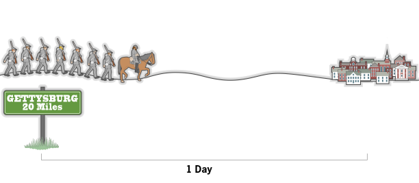
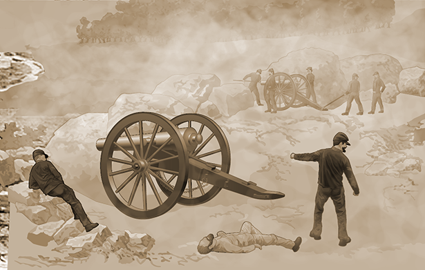
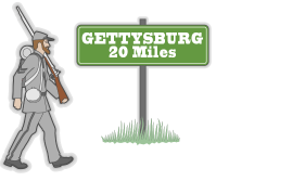
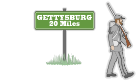
Troops coming to Gettysburg marched long distances.
General Meade’s men sometimes marched 20 to 30 miles per day on their way to Gettysburg. Earlier in the war, it had been usual for troops to march only 6 miles per day.
Questions: How far does the average American teenager walk in a day?
When was the last time you walked 20 miles in one day?
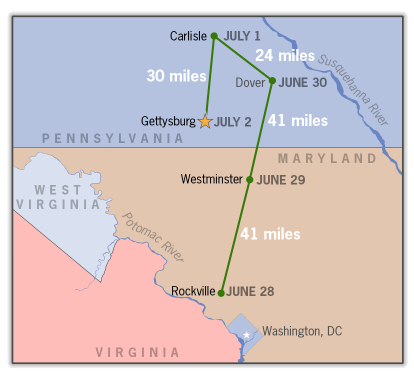
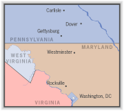
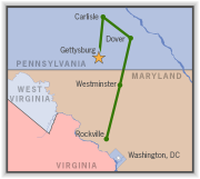
We know that Stuart’s Confederate troops were in Rockville MD on June 28.
On June 29, they were in Westminster, MD which is 41 miles.
On June 30, they were in Dover, PA which is another 41 miles
On July 1, they were in Carlisle, PA, which is 24 miles
On July 2, they were in Gettysburg, which is 30 miles.
Questions:
Can you plot a map showing the places you travel in a five day period and by what means you travel? Use a
tool such as Google Maps or Google Earth.
While that seems like a short distance today, with highways and automobile travel, this was over rough terrain and on foot.
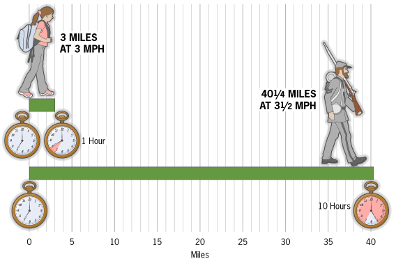
Most people walk around 3 miles per hour.
To cover 40 miles, it would take more than 10 hours at that speed. Troops must have walked
much faster.
A marathon is about 26 miles. Civil War soldiers covered more distance while wearing heavy uniforms and carrying 40 pounds of equipment.
Question:
With your full school backpack, how long would it take you to walk 26 miles? (How did you estimate your answer?)
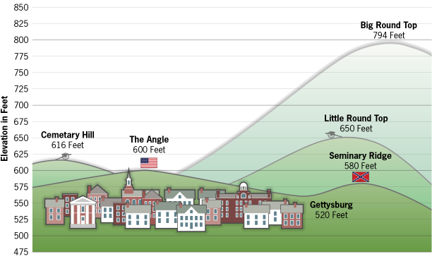
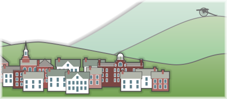
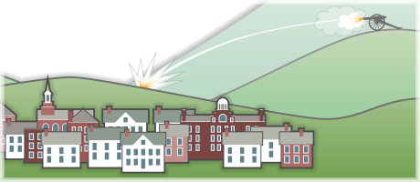
The tallest point on the battlefield is Big Round Top at 794 feet.
Questions:
What is the highest point within the 18 square miles around your home?
What is it used for?
Why does elevation matter in a battle?
Close x |
TeachersFirst.com ⋅ Thinking Teachers Teaching Thinkers® ⋅ Copyright © 1998-2024 by The Source for Learning, Inc. All rights reserved.