Thousands of Teacher-reviewed Resources!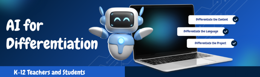
Differentiation Made Easier with AIEvery classroom holds a wide range of learners, and meeting each student where they are can feel like an impossible balancing act. This collection of AI-powered resources is designed to help. From generating tiered assignments and leveled reading passages to creating personalized practice problems and scaffolded supports, these tools can help you differentiate instruction more efficiently, freeing up time so you can focus on your students.
Grades 4-12GMind AIGMind AI generates lesson plans differentiated by level, style, and language and pairs each student with a personal AI tutor that adapts in real time to knowledge gaps and pace, making it easy to meet every learner where they are. Grades 3-12How to Create Differentiated Multi-Level Lesson Plans with AILearn more about GMind AI (shared above) through this step-by-step tutorial video. See the tool in action and learn how to quickly generate differentiated lesson content by level, style, and language so every student gets material suited to their needs. Grades 2-12DiffitDiffit helps teachers differentiate lessons and teaching materials. Input literally anything—books, text, PDFs, links, or vocabulary—and follow the prompts to create differentiated materials like leveled reading passages, exit tickets, and more. Grades 5-12Latimer: AI for EveryoneLatimer can help differentiate content by generating explanations, examples, and materials with a culturally responsive, diverse-history lens—making lessons more relatable and accessible for students from varied cultural backgrounds. Grades K-8Reading CoachReading Coach generates AI stories in multiple languages and pulls leveled ReadWorks passages matched to each student's ability and interests so every reader can practice at the right level. In addition, teachers get progress reports to track growth. Grades 1-12Brisk TeachingBrisk Teaching lets educators instantly convert any text to different reading levels, translate it into another language, or create tailored quizzes, feedback, and activities directly inside Google Docs, Google Slides, and Microsoft tools. Grades 2-12NolejQuickly turn existing content like videos, PDFs, text, or webpages into interactive learning experiences. Using automation, the platform generates quizzes, flashcards, games, interactive videos, and even chatbots—perfect for differentiation. Grades K-12EduaideEduaide allows teachers to generate lessons, worksheets, and assessments with built-in difficulty controls, then checks grade level and text complexity—making it easy to create variations that match each student's reading level and needs. Grades K-123 Ways AI Can Help with Lesson Planning and DifferentiationRead all about three practical ways AI supports differentiation: generating leveled lesson materials, scaffolding content for diverse learners, and giving students real-time feedback. It also includes a CRAFT framework for writing effective AI prompts. Grades K-12KhanmigoKhanmigo helps teachers quickly build differentiated lesson plans, student groupings, and rubrics. Students can also chat with a free and patient AI tutor that guides them to answers step by step, adapting support to each learner's individual pace. Grades K-12Monsha AIMonsha lets teachers adjust the reading level, cognitive demand, skill focus, and language of any lesson. It includes the ability to translate, simplify, or enrich content, as well as create scaffolded variations tailored to different learner groups. Grades 3-12Using AI to Differentiate Lessons for ELLs: Live Demo & Expert TipsThis practical video explores how AI can help teachers differentiate instruction for ELL students more efficiently. You’ll learn how to use AI to adapt reading passages, simplify complex texts, and more through real-world examples and demonstrations. This Week at TeachersFirstWe’re excited to invite you to attend two virtual workshops this week! We’re also sharing a related blog post and a curated collection packed with even more AI tools with differentiation features. Finally, we invite you to check out a paid opportunity to join our team as a part-time contributor. Read the details below!
Brought to You by TeachersFirstEditorial About TeachersFirst |